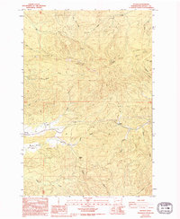
1986 Map of Pluvius
USGS Topo · Published 1994About this map
The Willapa River winds through the heart of this Pacific County landscape, carving a valley between the prominent elevations of P And E Ridge and Huckleberry Ridge. This terrain is characterized by a dense network of watercourses, including Fern Creek, Mill Creek, and Salmon Creek, which feed into the primary river system. The settlement at Pluvius occupies a strategic position near Pluvius Hill, while the community of Frances is situated to the west, bordering the open expanse of Willapa Prairie. Evidence of the region's logging and land-use history is visible through several labeled Borrow Pits and the Ridge WTL. Local landmarks such as the Willapa Falls and named high points like Walville Peak and Squally Jim provide significant navigational and historical reference points for this part of southwestern Washington.
Find a feature on this map
31 named features on this map. Tap any name to fly to it.
Don’t see what you’re looking for? This feature index may not catch every label — zoom into the map to look around manually.
Map Details
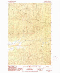
Editions of this 1986 Pluvius Map
2 editions found
Other maps of this area

1940 · Brookfield
USGS Topo · 1:62,500

1941 · Walville
USGS Topo · 1:62,500

1941 · Skamokawa
USGS Topo · 1:62,500

1953 · Hoquiam
USGS Topo · 1:250,000

1953 · Skamokawa
USGS Topo · 1:62,500

1953 · Pe Ell
USGS Topo · 1:62,500

1955 · Grays River
USGS Topo · 1:62,500

1955 · Raymond
USGS Topo · 1:62,500

1957 · Hoquiam
USGS Topo · 1:250,000

1958 · Hoquiam
USGS Topo · 1:250,000