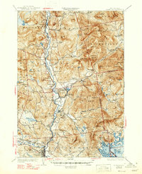
1931 Map of Plymouth
USGS Topo · Published 1947About this map
The Pemigewasset River corridor serves as the primary artery for settlement and industry in this New Hampshire survey, where the Boston and Maine Railroad follows the water through Thornton and Campton. The map captures a landscape defined by sharp elevation changes and concentrated valley development, featuring a network of local institutions like the Thornton Center Sch and Holderness Sch. Commercial activity is evidenced by the Tripoli Mill and the Fairgrounds near Plymouth, while the southern reaches showcase the intricate shoreline of Squam Lake with its numerous named islands and coves. The presence of Waterville Forest Camp within the White Mountain National Forest highlights the region's early 20th-century character as a destination for forestry and recreation. For genealogists, the map preserves locations of several local burial grounds, including Pine Grove Cem and Blair Cem.
Find a feature on this map
152 named features on this map. Tap any name to fly to it.
Don’t see what you’re looking for? This feature index may not catch every label — zoom into the map to look around manually.
Map Details
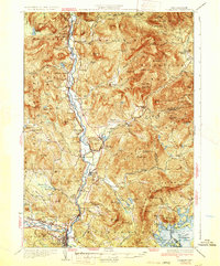
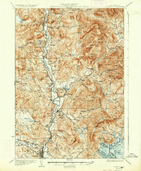
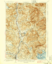
Editions of this 1931 Plymouth Map
5 editions found

Other maps of this area

1895 · Crawford Notch
USGS Topo · 1:62,500

1896 · Crawford Notch
USGS Topo · 1:62,500

1909 · Winnepesaukee
USGS Topo · 1:62,500

1925 · Holderness
USGS Topo · 1:62,500

1927 · Holderness
USGS Topo · 1:62,500

1927 · Cardigan
USGS Topo · 1:62,500

1928 · Plymouth
USGS Topo · 1:62,500

1928 · Rumney
USGS Topo · 1:62,500

1929 · Moosilauke
USGS Topo · 1:62,500

1929 · Franconia
USGS Topo · 1:62,500