
1931 Map of Plymouth
USGS Topo · Published 1931About this map
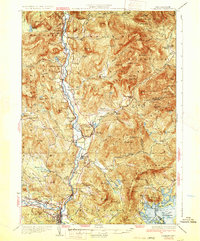
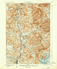
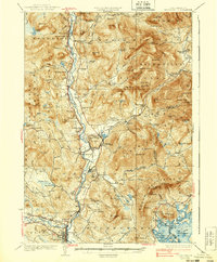
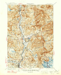
The Pemigewasset River valley serves as the primary corridor for settlement and industry in this 1930s-era landscape, where the Boston and Maine Railroad links mountain hamlets. From the regional hub of Plymouth in the south to the northern reaches of Woodstock, the map reveals a network of rural schoolhouses such as Blair Sch and Holderness Sch that supported scattered farming communities. The industrial presence is marked by features like Tripoli Mill and the Fairgrounds, while the eastern portion of the sheet is dominated by the ridges of the White Mountain National Forest. Local commerce centers on river-adjacent settlements including Campton Upper Village and Thornton, providing a detailed look at New Hampshire’s interior before the expansion of modern highway networks. To the southeast, the quiet coves of Squam Lake are home to seasonal landings like Rockywold and Deephaven, contrasting with the high mountain peaks like Mt Tecumseh and Sandwich Mtn.
Find a feature on this map
113 named features on this map. Tap any name to fly to it.
Don’t see what you’re looking for? This feature index may not catch every label — zoom into the map to look around manually.
Map Details
Editions of this 1931 Plymouth Map
5 editions found
Other maps of this area

1895 · Crawford Notch
USGS Topo · 1:62,500

1896 · Crawford Notch
USGS Topo · 1:62,500

1909 · Winnepesaukee
USGS Topo · 1:62,500

1925 · Holderness
USGS Topo · 1:62,500

1927 · Holderness
USGS Topo · 1:62,500

1927 · Cardigan
USGS Topo · 1:62,500

1928 · Plymouth
USGS Topo · 1:62,500

1928 · Rumney
USGS Topo · 1:62,500

1929 · Moosilauke
USGS Topo · 1:62,500

1929 · Franconia
USGS Topo · 1:62,500