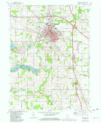
1972 Map of Plymouth
USGS Topo · Published 1980About this map
The Yellow River meanders through the heart of Marshall County, anchoring the development of Plymouth during this early 1970s survey. The city serves as a regional hub, evidenced by the convergence of the Norfolk and Western and Conrail railroad lines, alongside essential infrastructure like the Plymouth Municipal Airport and the Court House. Local life is well-documented through a dense network of civic landmarks, including St Michaels Ch, Lincoln Jr High Sch, and Parkview Hospital.
Find a feature on this map
40 named features on this map. Tap any name to fly to it.
Don’t see what you’re looking for? This feature index may not catch every label — zoom into the map to look around manually.
Map Details
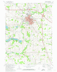
Editions of this 1972 Plymouth Map
2 editions found
Other maps of this area

1953 · Chicago
USGS Topo · 1:250,000

1957 · Chicago
USGS Topo · 1:250,000

1957 · Inwood
USGS Topo · 1:24,000

1957 · Plymouth
USGS Topo · 1:24,000

1958 · Donaldson
USGS Topo · 1:24,000

1958 · Bremen
USGS Topo · 1:24,000

1958 · La Paz
USGS Topo · 1:24,000

1958 · Walkerton
USGS Topo · 1:24,000

1962 · Argos
USGS Topo · 1:24,000

1962 · Culver
USGS Topo · 1:24,000