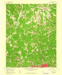
1958 Map of Pocatalico
USGS Topo · Published 1960About this map
Guthrie Air Force Station and the rising development of the northern Charleston suburbs define this late 1950s landscape. While the southern edge of the map shows the emerging neighborhoods of Edgewood and Edgewood Acres, the interior remains a complex network of ridges and hollows carved by the Pocatalico River and its many tributaries like Tupper Creek. The industrial footprint of the era is evident in the Strip Mines and numerous oil wells scattered across the terrain, indicating a landscape transitioning between traditional extraction and postwar residential growth.
Find a feature on this map
85 named features on this map. Tap any name to fly to it.
Don’t see what you’re looking for? This feature index may not catch every label — zoom into the map to look around manually.
Map Details
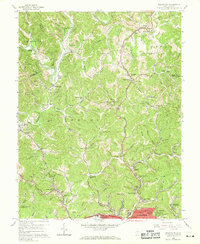
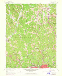
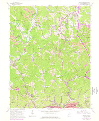
Editions of this 1958 Pocatalico Map
4 editions found
Other maps of this area

1899 · Charleston
USGS Topo · 1:125,000

1906 · Kenna
USGS Topo · 1:62,500

1906 · Winfield
USGS Topo · 1:62,500

1907 · Kenna
USGS Topo · 1:62,500

1908 · Winfield
USGS Topo · 1:62,500

1909 · Charleston
USGS Topo · 1:62,500

1909 · Saint Albans
USGS Topo · 1:62,500

1931 · Saint Albans
USGS Topo · 1:62,500

1931 · Charleston
USGS Topo · 1:62,500

1933 · Saint Albans
USGS Topo · 1:62,500