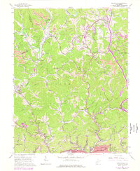
1958 Map of Pocatalico
USGS Topo · Published 1977About this map
Pocatalico River and its numerous winding tributaries like Tupper Creek define this section of West Virginia just northwest of the state capital. The terrain is characterized by a dense network of rural schools and churches, such as Aetna Dell Sch and Leggs Mem Ch, which served the small communities of Pocatalico, Guthrie, and Lanham.
Find a feature on this map
106 named features on this map. Tap any name to fly to it.
Don’t see what you’re looking for? This feature index may not catch every label — zoom into the map to look around manually.
Map Details
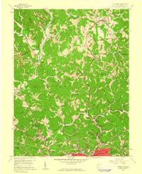
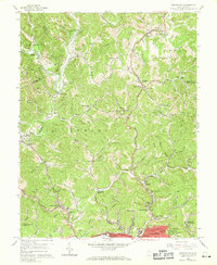
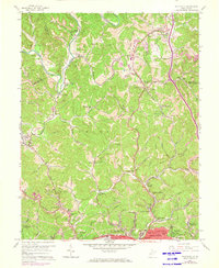
Editions of this 1958 Pocatalico Map
4 editions found
Other maps of this area

1899 · Charleston
USGS Topo · 1:125,000

1906 · Kenna
USGS Topo · 1:62,500

1906 · Winfield
USGS Topo · 1:62,500

1907 · Kenna
USGS Topo · 1:62,500

1908 · Winfield
USGS Topo · 1:62,500

1909 · Charleston
USGS Topo · 1:62,500

1909 · Saint Albans
USGS Topo · 1:62,500

1931 · Saint Albans
USGS Topo · 1:62,500

1931 · Charleston
USGS Topo · 1:62,500

1933 · Saint Albans
USGS Topo · 1:62,500