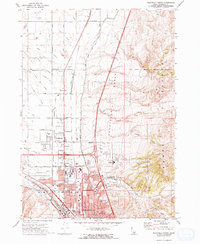
1971 Map of Pocatello North
USGS Topo · Published 1974About this map
Pocatello and its northern neighbors, Chubbuck and Tyhee, are shown during a period of significant suburban expansion and infrastructure development. The Union Pacific railroad corridor serves as a primary industrial axis, while the newly constructed Interstate 15 carves through the Pocatello Bench, altering the local transport network previously dominated by U.S. 91. The map reveals the transition from the agricultural lands of the Fort Hall Indian Reservation and the Hi-Line Canal to the growing residential blocks of Alameda. Notable local landmarks include the County Fairgrounds, the Highland Golf Course, and numerous neighborhood schools like Edahow Sch and Lewis and Clark Sch. The eastern edge is defined by the steep rises of the Pocatello Range, where Buffalo Creek and Pocatello Creek descend toward the Portneuf River valley.
Find a feature on this map
60 named features on this map. Tap any name to fly to it.
Don’t see what you’re looking for? This feature index may not catch every label — zoom into the map to look around manually.
Map Details
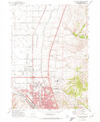
Editions of this 1971 Pocatello North Map
2 editions found
Other maps of this area

1934 · Michaud
USGS Topo · 1:62,500

1937 · Pocatello
USGS Topo · 1:48,000

1937 · Michaud
USGS Topo · 1:62,500

1940 · Blackfoot
USGS Topo · 1:62,500

1943 · Blackfoot
USGS Topo · 1:62,500

1944 · Pocatello
USGS Topo · 1:62,500

1954 · Pocatello
USGS Topo · 1:250,000

1955 · Pingree
USGS Topo · 1:24,000

1955 · Idaho Falls
USGS Topo · 1:250,000

1958 · Idaho Falls
USGS Topo · 1:250,000