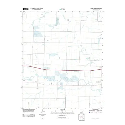
2011 Map of Pocket Prairie
USGS Topo · Published 2011About this map
Carlisle serves as a primary hub in this Lonoke County landscape, situated where the grid of rural roads meets the interstate and rail corridor. The map documents a classic Arkansas prairie transition, where the agricultural geometry of Pocket Prairie is carved by the meandering courses of Wattensaw Bayou and Bayou Two Prairie. This intersection of natural drainage and human engineering is visible in the numerous small dams and named drainage channels like White Oak Branch and Shumaker Branch that manage the local water table for farming.
Find a feature on this map
50 named features on this map. Tap any name to fly to it.
Don’t see what you’re looking for? This feature index may not catch every label — zoom into the map to look around manually.
Map Details
Editions of this 2011 Pocket Prairie Map
This is the sole edition of this map. No revisions or reprints were ever made.
Other maps of this area

1935 · Hazen
USGS Topo · 1:62,500

1937 · Stuttgart
USGS Topo · 1:62,500

1937 · England
USGS Topo · 1:48,000

1939 · Stuttgart
USGS Topo · 1:62,500

1940 · Lonoke
USGS Topo · 1:62,500

1941 · Hazen
USGS Topo · 1:62,500

1943 · England
USGS Topo · 1:62,500

1948 · Helena
USGS Topo · 1:250,000

1949 · Lonoke
USGS Topo · 1:62,500

1950 · Helena
USGS Topo · 1:250,000