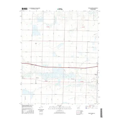
2017 Map of Pocket Prairie
USGS Topo · Published 2017About this map
Carlisle and the surrounding agricultural landscape of Lonoke County are defined by a complex network of waterways that once nourished this prairie region. The drainage patterns of Wattensaw Bayou in the north and the meandering Bayou Two Prairie in the south reveal the natural irrigation that supported local rice and soybean farming. Named settlements like McCreanor, Sisemore, and Pocket Prairie are positioned along the primary east-west transport corridor, illustrating how the railroad and later the highway system dictated the growth of these Arkansas communities.
Find a feature on this map
40 named features on this map. Tap any name to fly to it.
Don’t see what you’re looking for? This feature index may not catch every label — zoom into the map to look around manually.
Map Details
Editions of this 2017 Pocket Prairie Map
This is the sole edition of this map. No revisions or reprints were ever made.
Other maps of this area

1935 · Hazen
USGS Topo · 1:62,500

1937 · Stuttgart
USGS Topo · 1:62,500

1937 · England
USGS Topo · 1:48,000

1939 · Stuttgart
USGS Topo · 1:62,500

1940 · Lonoke
USGS Topo · 1:62,500

1941 · Hazen
USGS Topo · 1:62,500

1943 · England
USGS Topo · 1:62,500

1948 · Helena
USGS Topo · 1:250,000

1949 · Lonoke
USGS Topo · 1:62,500

1950 · Helena
USGS Topo · 1:250,000