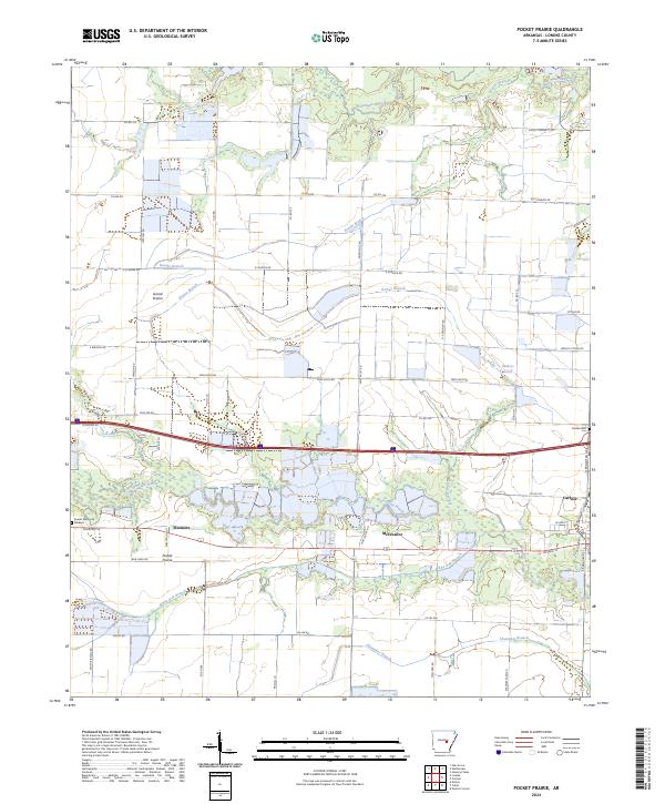
2024 Map of Pocket Prairie
USGS Topo · Published 2024About this map
Grand Prairie and Pocket Prairie dominate this Lonoke County landscape, where the flat alluvial geography is defined by a dense network of slow-moving waterways and drainage branches. The central corridor of the map follows the transport lines that connect the small settlements of Sisemore and McCreanor to the larger community of Carlisle. Local heritage is anchored by landmarks like Carlisle Cem and Sunset Memorial Gardens, while the surrounding acreage is segmented by family-named roads such as O'Cain Rd and Ray Schafer Rd. The complex hydrology of the region is evident in the many winding tributaries, including Wattensaw Bayou, Bayou Two Prairie, and White Oak Branch, which crisscross the prairie lands and historically influenced the placement of early homesteads and rail lines.
Find a feature on this map
55 named features on this map. Tap any name to fly to it.
Don’t see what you’re looking for? This feature index may not catch every label — zoom into the map to look around manually.
Map Details
Editions of this 2024 Pocket Prairie Map
This is the sole edition of this map. No revisions or reprints were ever made.
Other maps of this area

1935 · Hazen
USGS Topo · 1:62,500

1937 · Stuttgart
USGS Topo · 1:62,500

1937 · England
USGS Topo · 1:48,000

1939 · Stuttgart
USGS Topo · 1:62,500

1940 · Lonoke
USGS Topo · 1:62,500

1941 · Hazen
USGS Topo · 1:62,500

1943 · England
USGS Topo · 1:62,500

1948 · Helena
USGS Topo · 1:250,000

1949 · Lonoke
USGS Topo · 1:62,500

1950 · Helena
USGS Topo · 1:250,000