
1923 Map of Pocono
USGS Topo · Published 1923About this map
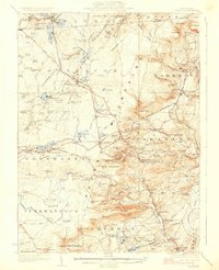
Mount Pocono and the surrounding resort highlands of Monroe County are shown here during a period of transition into a premier vacation destination. The landscape is defined by its hydrological network, from the wide waters of Lake Naomi and Pocono Lake to the intricate tributaries of Paradise Creek and Swiftwater Creek. The presence of the Delaware Lackawanna and Western RR facilitates access to the growing mountain communities of Cresco, Mountain Home, and Pocono Summit.
Find a feature on this map
142 named features on this map. Tap any name to fly to it.
Don’t see what you’re looking for? This feature index may not catch every label — zoom into the map to look around manually.
Map Details
Editions of this 1923 Pocono Map
5 editions found
Other maps of this area
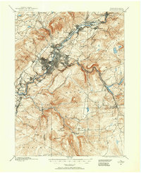
1889 · Scranton
USGS Topo · 1:62,500
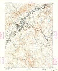
1891 · Scranton
USGS Topo · 1:62,500

1891 · Delaware Water Gap
USGS Topo · 1:62,500

1893 · Delaware Water Gap
USGS Topo · 1:62,500
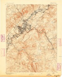
1893 · Scranton
USGS Topo · 1:62,500

1914 · Wind Gap
USGS Topo · 1:62,500

1916 · Wind Gap
USGS Topo · 1:62,500

1919 · Pocono
USGS Topo · 1:62,500

1921 · Pocono
USGS Topo · 1:62,500

1922 · Mauch Chunk
USGS Topo · 1:62,500
Featured Places
- Tobyhanna, Coolbaugh Township
- Mount Pocono, PA
- Clifton Township, PA
- Pocono Pines, Tobyhanna Township
- Pocono Pines, Tobyhanna Township