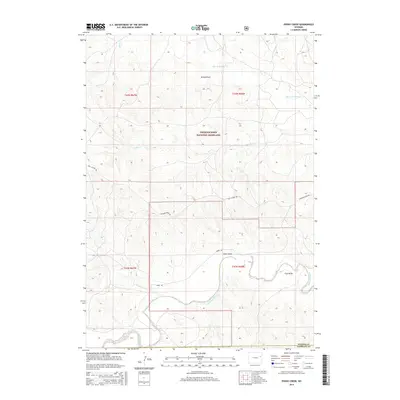
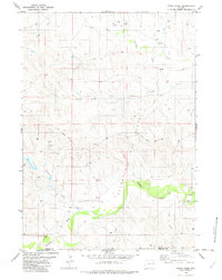
2015 Map of Poddy Creek
USGS Topo · Published 2015About this map
Thunder Basin National Grassland dominates this section of the High Plains, characterized by a complex network of ephemeral drainages and intermittent creeks. The landscape is defined by the winding course of the Cheyenne River as it snakes through the southern portion of the quadrangle, joined by tributaries such as Cottonwood Cr and Owl Cr. These waterways are flanked by numerous topographical depressions known locally as draws, including School Draw, Dixon Draw, and Fred Draw, which serve as vital conduits for seasonal runoff.
Find a feature on this map
17 named features on this map. Tap any name to fly to it.
Don’t see what you’re looking for? This feature index may not catch every label — zoom into the map to look around manually.
Map Details
Editions of this 2015 Poddy Creek Map
This is the sole edition of this map. No revisions or reprints were ever made.
Other maps of this area

1955 · Newcastle
USGS Topo · 1:250,000

1958 · Newcastle
USGS Topo · 1:250,000

1979 · Newcastle
USGS Topo · 1:100,000
1981 · Wagonhound Creek
USGS Topo · 1:24,000

1981 · Garland Draw
USGS Topo · 1:24,000

1981 · Wagonhound Creek NE
USGS Topo · 1:24,000

1981 · Lance Creek
USGS Topo · 1:100,000
1982 · Darlington Draw West
USGS Topo · 1:24,000
1982 · Lion Creek
USGS Topo · 1:24,000
1982 · Poddy Creek
USGS Topo · 1:24,000