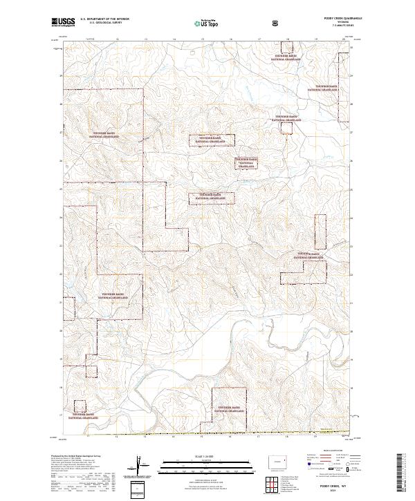
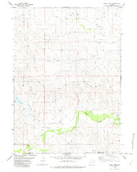
2021 Map of Poddy Creek
USGS Topo · Published 2021About this map
Thunder Basin National Grassland encompasses much of this high-plains landscape in eastern Wyoming, where the drainage systems of the Cheyenne River define the local topography. This 2021 survey shows a sparsely settled region at the border of Weston and Niobrara Counties, where land use is characterized by the long-established ranching traditions of the Powder River Basin. Numerous named erosional features like School Draw, Dixon Draw, and Fred Draw illustrate how water has shaped the terrain over time.
Find a feature on this map
14 named features on this map. Tap any name to fly to it.
Don’t see what you’re looking for? This feature index may not catch every label — zoom into the map to look around manually.
Map Details
Editions of this 2021 Poddy Creek Map
This is the sole edition of this map. No revisions or reprints were ever made.
Other maps of this area

1955 · Newcastle
USGS Topo · 1:250,000

1958 · Newcastle
USGS Topo · 1:250,000

1979 · Newcastle
USGS Topo · 1:100,000
1981 · Wagonhound Creek
USGS Topo · 1:24,000

1981 · Garland Draw
USGS Topo · 1:24,000

1981 · Wagonhound Creek NE
USGS Topo · 1:24,000

1981 · Lance Creek
USGS Topo · 1:100,000
1982 · Darlington Draw West
USGS Topo · 1:24,000
1982 · Lion Creek
USGS Topo · 1:24,000
1982 · Poddy Creek
USGS Topo · 1:24,000