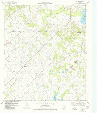
1980 Map of Poetry
USGS Topo · Published 1980About this map
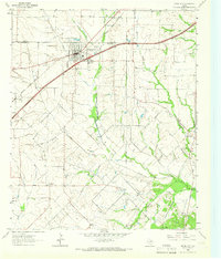
The settlement of Poetry sits in the northwest corner of this landscape, marking a rural community near the Hunt Co Kaufman Co boundary. The terrain is defined by a network of creeks, including Dry Creek, Greasy Creek, and Walnut Creek, which drain toward the South Fork Sabine River. Significant water management features are evident through the presence of an Aqueduct and multiple pipelines traversing the countryside, alongside the New Terrell City Lake and the Lake Tawakoni (Kitsee Inlet). For genealogists, the map is particularly detailed, showing several burial grounds such as Henderson-Mosley Cem, Highland Memorial Gardens, and Weaver Cem. Traces of earlier infrastructure appear in the form of an Old Grade Railroad, while the local economy of the late 1970s is reflected by scattered gas wells and a Radio Facility.
Find a feature on this map
25 named features on this map. Tap any name to fly to it.
Don’t see what you’re looking for? This feature index may not catch every label — zoom into the map to look around manually.
Map Details
Editions of this 1980 Poetry Map
2 editions found
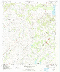
Other maps of this area

1919 · Royse City
USGS Topo · 1:62,500

1954 · Dallas
USGS Topo · 1:250,000

1956 · Kaufman
USGS Topo · 1:62,500

1956 · Quinlan
USGS Topo · 1:62,500

1958 · Dallas
USGS Topo · 1:250,000

1962 · Elmo
USGS Topo · 1:24,000

1962 · Wills Point
USGS Topo · 1:24,000
1962 · Terrell North
USGS Topo · 1:24,000
1963 · Terrell South
USGS Topo · 1:24,000
1963 · Royse City
USGS Topo · 1:24,000