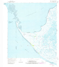
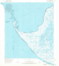
1970 Map of Point Au Fer
USGS Topo · Published 1981About this map
Point Au Fer Island sits at the exposed transition where the Atchafalaya Bay meets the Gulf of Mexico. This low-lying coastal landscape is defined by its volatile amphibious geography, featuring the extensive Point Au Fer Shell Reef and a network of tidal passes like Raquet Pass. The area's industrial importance is evident in the sprawling Point Au Fer Oil Field, which is crisscrossed by an intricate Pipeline system and access channels such as the one leading to Burkes. Navigational landmarks are sparse but critical in this marshy environment, including a Lighthouse and Radio Tower on Eugene Island. Localized features like Little Hammock and Narrow Hammock provide rare points of elevation amidst the expansive marshes and bayous, while named locations such as Dead Alligator Point and Fishing Point suggest the traditional activities of the Terrebonne Parish coast.
Find a feature on this map
31 named features on this map. Tap any name to fly to it.
Don’t see what you’re looking for? This feature index may not catch every label — zoom into the map to look around manually.
Map Details
Editions of this 1970 Point Au Fer Map
3 editions found
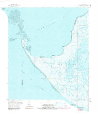
Other maps of this area

1932 · Lake Decade
USGS Topo · 1:62,500

1935 · Oyster Bayou
USGS Topo · 1:62,500

1945 · New Orleans
USGS Topo · 1:250,000

1957 · Lake Decade
USGS Topo · 1:62,500
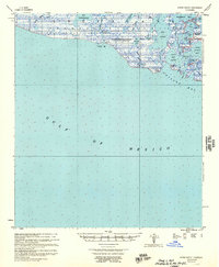
1957 · Oyster Bayou
USGS Topo · 1:62,500

1957 · Point Au Fer
USGS Topo · 1:62,500

1963 · New Orleans
USGS Topo · 1:250,000

1966 · New Orleans
USGS Topo · 1:250,000
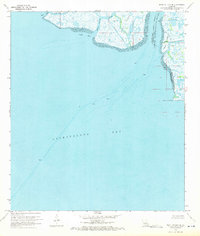
1970 · Point Au Fer NE
USGS Topo · 1:24,000
1970 · Point Au Fer
USGS Topo · 1:24,000