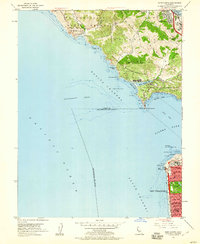
1954 Map of Point Bonita
USGS Topo · Published 1960About this map
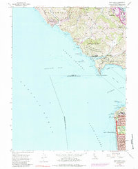
Point Bonita stands as a sentinel over the northern approach to the Golden Gate, where the Fort Cronkhite Military Reservation and Fort Barry Military Reservation command the headlands. This mid-century survey captures the Marin County coastline during a period of established military presence, contrasted with the growing residential clusters of Sausalito and Marin City. To the south, the grid of San Francisco meets the Pacific at the Esplanade, showing the densely packed blocks of the Outer Sunset district before further modern infill. The map reveals the intricate maritime hazards of the era, from the shifting sands of Potatopatch Shoal to the lone wreck near Point Lobos. Cultural landmarks like the Cliff House and the coastal Baths are clearly marked, alongside the Mile Rock Lighthouse positioned offshore, highlighting the critical intersections of recreation, navigation, and defense that define this iconic entrance to the bay.
Find a feature on this map
77 named features on this map. Tap any name to fly to it.
Don’t see what you’re looking for? This feature index may not catch every label — zoom into the map to look around manually.
Map Details
Editions of this 1954 Point Bonita Map
6 editions found
Other maps of this area

1892 · San Mateo
USGS Topo · 1:62,500

1895 · San Francisco
USGS Topo · 1:62,500

1896 · San Mateo
USGS Topo · 1:62,500

1897 · Tamalpais
USGS Topo · 1:62,500

1899 · San Francisco
USGS Topo · 1:62,500

1899 · San Mateo
USGS Topo · 1:62,500

1915 · San Mateo
USGS Topo · 1:62,500

1915 · San Francisco
USGS Topo · 1:62,500

1939 · San Mateo
USGS Topo · 1:62,500

1941 · Tamalpais
USGS Topo · 1:62,500