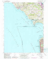
1954 Map of Point Bonita
USGS Topo · Published 1991About this map
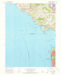
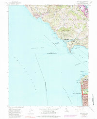
The entrance to the Golden Gate is documented here during the mid-century, capturing the transition from military surveillance to recreational expansion. Significant coastal defense installations, including Fort Barry Mil Res and Fort Cronkhite Mil Res, dominate the Marin headlands overlooking the Bonita Channel. Across the water, the northwestern edge of San Francisco is shown with its dense residential grid extending toward the Pacific Ocean, featuring landmarks such as the Cliff House and the manicured grounds of Sutro Heights Park.
Find a feature on this map
74 named features on this map. Tap any name to fly to it.
Don’t see what you’re looking for? This feature index may not catch every label — zoom into the map to look around manually.
Map Details
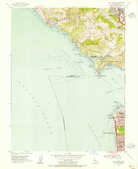
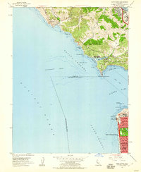
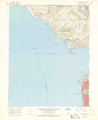
Editions of this 1954 Point Bonita Map
6 editions found
Other maps of this area

1892 · San Mateo
USGS Topo · 1:62,500

1895 · San Francisco
USGS Topo · 1:62,500

1896 · San Mateo
USGS Topo · 1:62,500

1897 · Tamalpais
USGS Topo · 1:62,500

1899 · San Francisco
USGS Topo · 1:62,500

1899 · San Mateo
USGS Topo · 1:62,500

1915 · San Mateo
USGS Topo · 1:62,500

1915 · San Francisco
USGS Topo · 1:62,500

1939 · San Mateo
USGS Topo · 1:62,500

1941 · Tamalpais
USGS Topo · 1:62,500