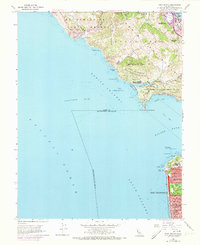
1954 Map of Point Bonita
USGS Topo · Published 1973About this map
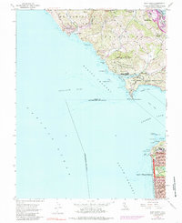
San Francisco's northwestern edge meets the Pacific at the Golden Gate, where the urban grid terminates at the Great Highway. This mid-century view shows the coastal transition from the city’s residential blocks, like those near Francis Scott Key Sch, to the open coastal landscape of Lincoln Park and the Cliff House. Across the water, the Sausalito Peninsula is dominated by federal and conservation lands, including the Fort Cronkhite Military Reservation and the Mt Tamalpais Game Refuge. The presence of the Lighthouse at Point Bonita and the extensive Cable Area highlights the maritime significance of this entrance to the bay. Established communities such as Sausalito and Marin City appear as the primary northern hubs, while the southern shore captures the curated greenery of Golden Gate Park before it meets the Pacific Ocean.
Find a feature on this map
69 named features on this map. Tap any name to fly to it.
Don’t see what you’re looking for? This feature index may not catch every label — zoom into the map to look around manually.
Map Details
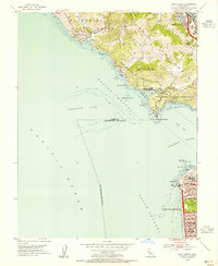
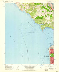
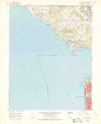
Editions of this 1954 Point Bonita Map
6 editions found
Other maps of this area

1892 · San Mateo
USGS Topo · 1:62,500

1895 · San Francisco
USGS Topo · 1:62,500

1896 · San Mateo
USGS Topo · 1:62,500

1897 · Tamalpais
USGS Topo · 1:62,500

1899 · San Francisco
USGS Topo · 1:62,500

1899 · San Mateo
USGS Topo · 1:62,500

1915 · San Mateo
USGS Topo · 1:62,500

1915 · San Francisco
USGS Topo · 1:62,500

1939 · San Mateo
USGS Topo · 1:62,500

1941 · Tamalpais
USGS Topo · 1:62,500