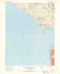
1954 Map of Point Bonita
USGS Topo · Published 1969About this map
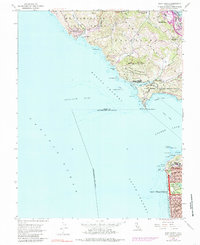
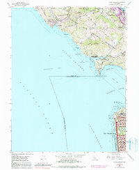
The Marin Peninsula and the northern reaches of San Francisco meet at the iconic Golden Gate in this mid-century topographic survey. The northern shore is dominated by massive coastal defense installations, including the Fort Cronkhite Military Reservation and Fort Barry Military Reservation, which protected the entrance to the bay before the expansion of the Marin Headlands State Park. Across the water, the urban grid of San Francisco pushes toward the Pacific at Ocean Beach, featuring the planned greenery of Golden Gate Park and the rugged outcrops of Lands End and Point Lobos. In Marin County, the map captures the residential growth of Sausalito and the community at Marin City, while the Shoreline Highway snakes through the coastal valleys toward Muir Beach. This era shows the landscape at a threshold between its strategic military heritage and its future as a premier recreational and residential corridor.
Find a feature on this map
66 named features on this map. Tap any name to fly to it.
Don’t see what you’re looking for? This feature index may not catch every label — zoom into the map to look around manually.
Map Details
Editions of this 1954 Point Bonita Map
6 editions found
Other maps of this area

1892 · San Mateo
USGS Topo · 1:62,500

1895 · San Francisco
USGS Topo · 1:62,500

1896 · San Mateo
USGS Topo · 1:62,500

1897 · Tamalpais
USGS Topo · 1:62,500

1899 · San Francisco
USGS Topo · 1:62,500

1899 · San Mateo
USGS Topo · 1:62,500

1915 · San Mateo
USGS Topo · 1:62,500

1915 · San Francisco
USGS Topo · 1:62,500

1939 · San Mateo
USGS Topo · 1:62,500

1941 · Tamalpais
USGS Topo · 1:62,500