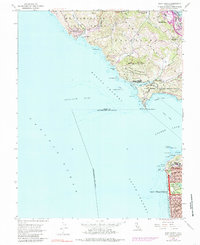
1954 Map of Point Bonita
USGS Topo · Published 1985About this map
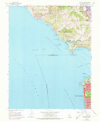
The Saucelito Peninsula and the northern reaches of San Francisco meet at the mouth of the Golden Gate, framing the critical maritime approaches of the Bonita Channel and South Channel. On the Marin side, the landscape is defined by coastal defense and preservation, with the Fort Cronkhite Military Reservation and Fort Barry Military Reservation occupying the strategic heights above Rodeo Cove. The presence of the Mt Tamalpais Game Refuge and Marin Headlands State Park suggests a rugged, undeveloped shoreline where features like Tennessee Cove and Pirates Cove remained largely untouched by the post-war suburban growth seen further inland at Marin City.
Find a feature on this map
62 named features on this map. Tap any name to fly to it.
Don’t see what you’re looking for? This feature index may not catch every label — zoom into the map to look around manually.
Map Details
Editions of this 1954 Point Bonita Map
6 editions found
Other maps of this area

1892 · San Mateo
USGS Topo · 1:62,500

1895 · San Francisco
USGS Topo · 1:62,500

1896 · San Mateo
USGS Topo · 1:62,500

1897 · Tamalpais
USGS Topo · 1:62,500

1899 · San Francisco
USGS Topo · 1:62,500

1899 · San Mateo
USGS Topo · 1:62,500

1915 · San Mateo
USGS Topo · 1:62,500

1915 · San Francisco
USGS Topo · 1:62,500

1939 · San Mateo
USGS Topo · 1:62,500

1941 · Tamalpais
USGS Topo · 1:62,500