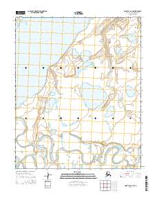
2014 Map of Point Lay D-2 SE
USGS Topo · Published 2014About this map
Kasegaluk Lagoon dominates the northwestern portion of this coastal landscape, serving as a defining feature of the North Slope's complex hydrography. The terrain is a network of water and tundra, characterized by the winding path of the Kokolik River as it meanders through the southern sections of the quadrangle. In the southeast, Niklavik Cr feeds into the larger river system, highlighting the drainage patterns essential to this Arctic environment. Surveyed in the early 21st century, the map documents the precise township and range boundaries of t6n r44w and t5n r43w, illustrating a largely uninhabited expanse where the natural water systems remain the primary landmarks for navigation and land management.
Find a feature on this map
7 named features on this map. Tap any name to fly to it.
Don’t see what you’re looking for? This feature index may not catch every label — zoom into the map to look around manually.
Map Details
Editions of this 2014 Point Lay D-2 SE Map
This is the sole edition of this map. No revisions or reprints were ever made.
Other maps of this area

1951 · Point Lay
USGS Topo · 1:250,000

1955 · Point Lay
USGS Topo · 1:250,000

1955 · Point Lay C-1
USGS Topo · 1:63,360
1955 · Point Lay D-1
USGS Topo · 1:63,360
1955 · Point Lay D-2
USGS Topo · 1:63,360
1955 · Point Lay C-2
USGS Topo · 1:63,360

1965 · Point Lay
USGS Topo · 1:250,000
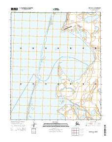
2014 · Point Lay C-2 NW
USGS Topo · 1:25,000
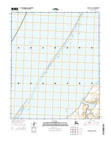
2014 · Point Lay D-2 NE
USGS Topo · 1:25,000
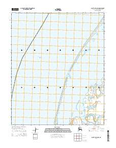
2014 · Point Lay D-2 SW
USGS Topo · 1:25,000