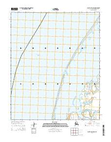
2014 Map of Point Lay D-2 SW
USGS Topo · Published 2014About this map
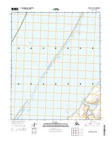
Point Lay sits at the edge of the barrier island system where the Kokolik River meets the coastal waters. This coastal environment is defined by the narrow strip of land separating the expansive Chukchi Sea from the sheltered waters of Kasegaluk Lagoon. The map illustrates the delicate geography of the Alaska North Slope Borough, showing how local infrastructure and the natural landscape of the North Slope are intertwined. The layout of the lagoon and its associated wetlands provides insight into the seasonal hydrology of the region, where river discharge and sea ice influence the coastal profile of this remote Arctic territory.
Find a feature on this map
5 named features on this map. Tap any name to fly to it.
Don’t see what you’re looking for? This feature index may not catch every label — zoom into the map to look around manually.
Map Details
Editions of this 2014 Point Lay D-2 SW Map
This is the sole edition of this map. No revisions or reprints were ever made.
Other maps of this area

1951 · Point Lay
USGS Topo · 1:250,000

1955 · Point Lay
USGS Topo · 1:250,000
1955 · Point Lay D-2
USGS Topo · 1:63,360
1955 · Point Lay C-2
USGS Topo · 1:63,360

1965 · Point Lay
USGS Topo · 1:250,000
2014 · Point Lay C-2 NW
USGS Topo · 1:25,000
2014 · Point Lay D-2 NE
USGS Topo · 1:25,000
2014 · Point Lay C-2 NE
USGS Topo · 1:25,000
2014 · Point Lay D-2 SE
USGS Topo · 1:25,000