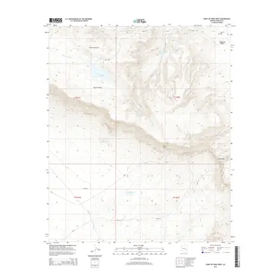
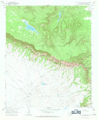
2014 Map of Point of Pines West
USGS Topo · Published 2014About this map
Point of Pines and its surrounding high-altitude geography are the focus of this 2014 survey. The terrain is defined by the massive Natanes Plateau and the sharp escarpment of the Nantac Rim, which drops off toward the expansive Ash Flat to the south. This landscape illustrates a complex drainage system where intermittent streams like Clover Cr and Turkey Cr feed into the higher elevations, while Bonita Cr cuts through the lower basins.
Find a feature on this map
25 named features on this map. Tap any name to fly to it.
Don’t see what you’re looking for? This feature index may not catch every label — zoom into the map to look around manually.
Map Details
Editions of this 2014 Point of Pines West Map
This is the sole edition of this map. No revisions or reprints were ever made.
Other maps of this area

1954 · Clifton
USGS Topo · 1:250,000

1957 · Clifton
USGS Topo · 1:250,000

1958 · Clifton
USGS Topo · 1:250,000

1960 · Fort Thomas
USGS Topo · 1:62,500

1962 · Clifton
USGS Topo · 1:250,000

1962 · Bryce Mountain
USGS Topo · 1:62,500
1967 · Sawbuck Mtn.
USGS Topo · 1:24,000
1967 · Point of Pines East
USGS Topo · 1:24,000
1967 · Natanes Mts NW
USGS Topo · 1:24,000
1967 · Point of Pines West
USGS Topo · 1:24,000