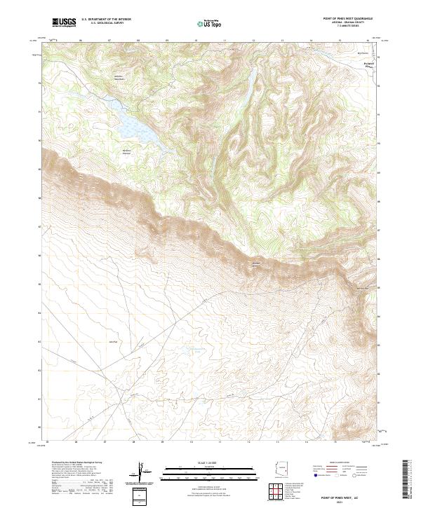
2021 Map of Point of Pines West
USGS Topo · Published 2021About this map
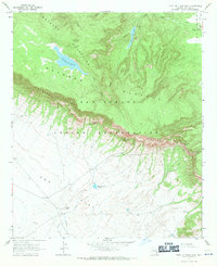
Natanes Mountains and the elevated Natanes Plateau dominate this landscape in eastern Arizona, characterized by dramatic shifts in elevation and significant water-catchment features. The settlement at Point of Pines sits at the edge of Big Prairie, serving as a focal point for the surrounding cattle country and ranching operations. The terrain transitions sharply from the high ridges of the Nantac Rim down toward the wide expanse of Ash Flat in the south.
Find a feature on this map
21 named features on this map. Tap any name to fly to it.
Don’t see what you’re looking for? This feature index may not catch every label — zoom into the map to look around manually.
Map Details
Editions of this 2021 Point of Pines West Map
This is the sole edition of this map. No revisions or reprints were ever made.
Other maps of this area

1954 · Clifton
USGS Topo · 1:250,000

1957 · Clifton
USGS Topo · 1:250,000

1958 · Clifton
USGS Topo · 1:250,000

1960 · Fort Thomas
USGS Topo · 1:62,500

1962 · Clifton
USGS Topo · 1:250,000

1962 · Bryce Mountain
USGS Topo · 1:62,500
1967 · Sawbuck Mtn.
USGS Topo · 1:24,000
1967 · Point of Pines East
USGS Topo · 1:24,000
1967 · Natanes Mts NW
USGS Topo · 1:24,000
1967 · Point of Pines West
USGS Topo · 1:24,000