Loading...
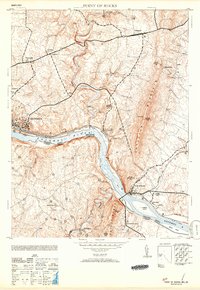
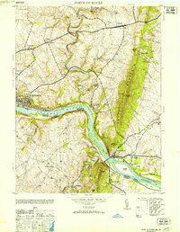
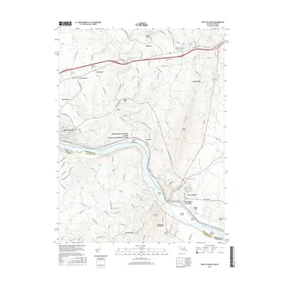
Loading map...1953 Map of Point of Rocks
USGS Topo · Published 1953About this map
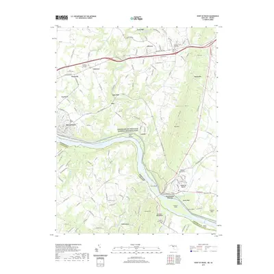
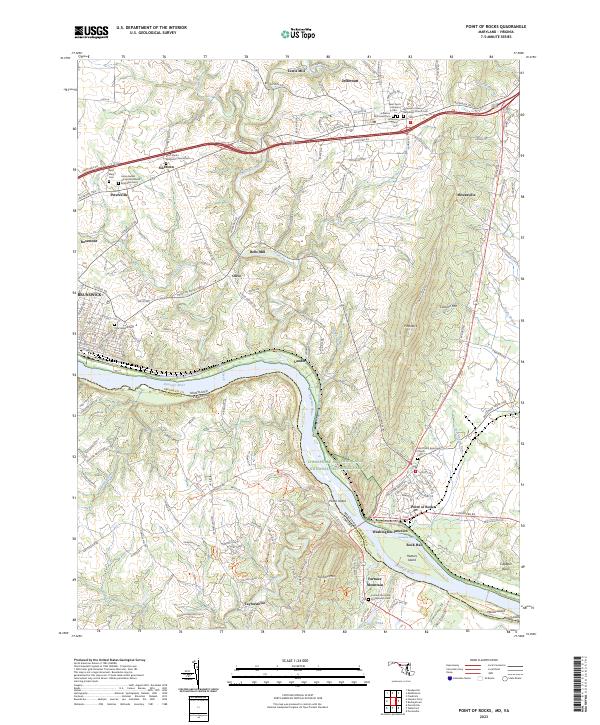
The Potomac River corridor serves as the central artery for this mid-century survey, defining the border between Maryland and Virginia. The landscape is dominated by the parallel transit routes of the Baltimore and Ohio railroad and the Chesapeake and Ohio Canal, which navigate the narrow passage beneath Catoctin Mountain. The bustling rail town of Brunswick stands in contrast to the agricultural settlements of Jefferson and Petersville to the north.
Find a feature on this map
31 named features on this map. Tap any name to fly to it.
Don’t see what you’re looking for? This feature index may not catch every label — zoom into the map to look around manually.
Map Details
Date Portrayed1953
Date Published1953
PublisherU.S. Geological Survey
Map TypeTopographic
Scale1:24,000
Physical Dimensions20 x 29 inches
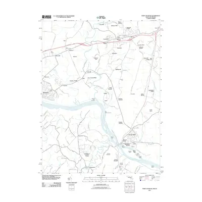
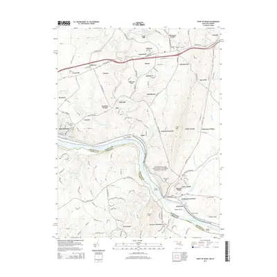
Editions of this 1953 Point of Rocks Map
2 editions found
Historical Maps of Brunswick Through Time
5 maps found
Featured Locations
Source Details
SourceU.S. Geological Survey
CopyrightPublic Domain