
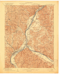
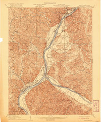
1908 Map of Point Pleasant
USGS Topo · Published 1908About this map
The confluence of the Ohio River and Kanawha River dictates the landscape of this 1908 survey, anchored by the riverfront commerce of Point Pleasant and Henderson. The era's heavy industrial and transit infrastructure is evident in the dense network of railroads, including the Baltimore and Ohio and the Kanawha and Michigan, which served the active shipping corridors. Across the water in Ohio, the large campus of the Ohio Epileptic Home and the settlement of Gallipolis stand out against a backdrop of dissected hills and creek valleys.
Find a feature on this map
83 named features on this map. Tap any name to fly to it.
Don’t see what you’re looking for? This feature index may not catch every label — zoom into the map to look around manually.
Map Details
Editions of this 1908 Point Pleasant Map
3 editions found
Other maps of this area

1905 · Wilkesville
USGS Topo · 1:62,500

1906 · Bidwell
USGS Topo · 1:62,500

1906 · Athalia
USGS Topo · 1:62,500

1906 · Glenwood
USGS Topo · 1:62,500

1906 · Winfield
USGS Topo · 1:62,500

1907 · Pomeroy
USGS Topo · 1:62,500

1907 · Keno
USGS Topo · 1:62,500

1908 · Bidwell
USGS Topo · 1:62,500

1908 · Athalia
USGS Topo · 1:62,500

1908 · Glenwood
USGS Topo · 1:62,500