
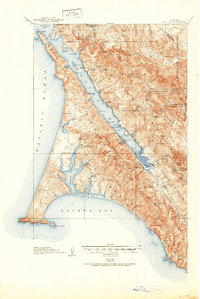
1918 Map of Point Reyes
USGS Topo · Published 1918About this map
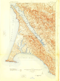
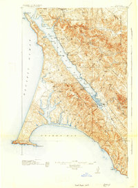
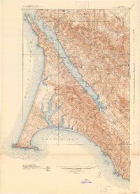
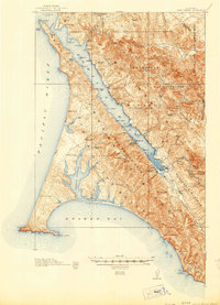
The Northwestern Pacific railroad corridor defines the eastern shore of Tomales Bay, connecting coastal outposts like Hamlet, Marshall, and Bivalve during the late 1910s. This survey illustrates a landscape dominated by large agricultural land grants and ranching operations, such as Pierce Ranch, Adams Ranch, and the Muddy Hollow Ranch. The intricate coastline of the Point Reyes peninsula is documented in detail, from the sweeping Drakes Bay to the fingers of Drakes Estero. Inland, the map reveals a network of small rural schools including Halleck School and Chileno School, which served the scattered dairy and ranching families of the era. The presence of the Coast Guard Station near the tip of Point Reyes and the Blacksmith Shop near the Point Reyes School underscores the maritime and working character of the peninsula before it became a national preserve.
Find a feature on this map
74 named features on this map. Tap any name to fly to it.
Don’t see what you’re looking for? This feature index may not catch every label — zoom into the map to look around manually.
Map Details
Editions of this 1918 Point Reyes Map
6 editions found
Other maps of this area

1897 · Tamalpais
USGS Topo · 1:62,500

1914 · Petaluma
USGS Topo · 1:62,500

1916 · Santa Rosa
USGS Topo · 1:62,500

1916 · Point Reyes
USGS Topo · 1:48,000

1935 · Sebastopol
USGS Topo · 1:48,000

1941 · Tamalpais
USGS Topo · 1:62,500

1942 · Sebastopol
USGS Topo · 1:62,500

1942 · Petaluma
USGS Topo · 1:62,500

1942 · Bodega Head
USGS Topo · 1:24,000

1944 · Santa Rosa
USGS Topo · 1:62,500