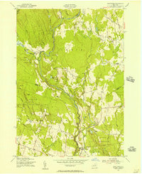
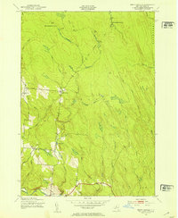
1955 Map of Point Rock
USGS Topo · Published 1957About this map
Small sawmills and rural homesteads define the mid-century landscape of the Lewis and Oneida County border. The East Branch Fish Creek winds through a terrain shaped by early timber industry, as evidenced by several milling sites including Swancott Mill, Freeman Mill, and Parson Mill. These small operations, though less dominant than in the nineteenth century, remain as local landmarks alongside established family settlements.
Find a feature on this map
52 named features on this map. Tap any name to fly to it.
Don’t see what you’re looking for? This feature index may not catch every label — zoom into the map to look around manually.
Map Details
Editions of this 1955 Point Rock Map
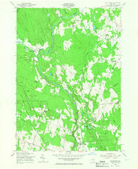
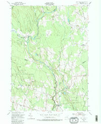
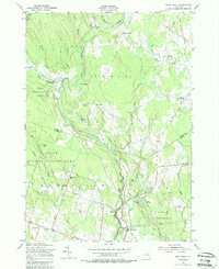
4 editions found
Other maps of this area

1904 · Boonville
USGS Topo · 1:62,500

1905 · Port Leyden
USGS Topo · 1:62,500

1905 · Taberg
USGS Topo · 1:62,500

1906 · Highmarket
USGS Topo · 1:62,500

1907 · Port Leyden
USGS Topo · 1:62,500

1940 · Port Leyden
USGS Topo · 1:62,500

1943 · East Florence
USGS Topo · 1:31,680

1943 · Camden East
USGS Topo · 1:31,680

1943 · Lee Center
USGS Topo · 1:31,680
1943 · North Osceola
USGS Topo · 1:24,000