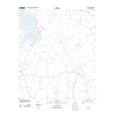
2012 Map of Point
USGS Topo · Published 2012About this map
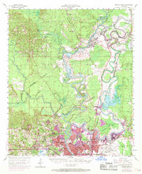
Moseleys Bluff rises over the eastern reaches of Bayou D'Arbonne Lake, a central landscape feature of this Union Parish region. The terrain is defined by a dense network of waterways feeding into Bayou D'Arbonne, including Francis Cr, Lick Cr, and the slow-moving Lake Drain Slough. Settlement patterns are concentrated near the small communities of Terrills and Point, with the latter situated at a crossroads just south of the Acree Cem.
Find a feature on this map
102 named features on this map. Tap any name to fly to it.
Don’t see what you’re looking for? This feature index may not catch every label — zoom into the map to look around manually.
Map Details
Editions of this 2012 Point Map
This is the sole edition of this map. No revisions or reprints were ever made.
Other maps of this area
1935 · Drew
USGS Topo · 1:62,500
1935 · Haile
USGS Topo · 1:62,500
1952 · Calhoun
USGS Topo · 1:62,500
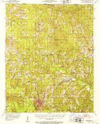
1952 · Farmerville
USGS Topo · 1:62,500

1955 · Shreveport
USGS Topo · 1:250,000

1956 · Shreveport
USGS Topo · 1:250,000
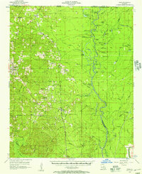
1956 · Haile
USGS Topo · 1:62,500
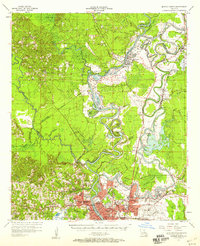
1957 · Monroe North
USGS Topo · 1:62,500
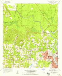
1957 · West Monroe North
USGS Topo · 1:24,000
1969 · Monroe North
USGS Topo · 1:62,500