
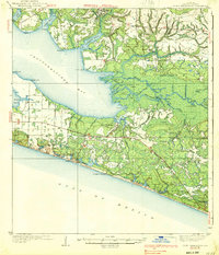
1939 Map of Point Washington
USGS Topo · Published 1939About this map
Freeport sits at the head of La Grange Bayou in this mid-1930s survey of Walton County, where the sprawling waters of Choctawhatchee Bay meet a dense network of delta islands and cutoffs. The landscape is defined by the transition from the piney woods around Liberty Sch and the Black Creek Chs to the maritime influences of the Gulf. Along the southern coast, the Gulf Coast Highway tracks a series of coastal dune lakes and nascent beach communities, including Grayton Beach and Seagrove Beach. The eastern reach of the bay dissolves into the complex wetlands of Devils Swamp, where the Mitchell River and Cypress River weave through Bunker Island and Indian Island. This record captures a period when regional travel relied heavily on the relationship between protected bayous like Hogtown Bayou and the open waters of the Gulf of Mexico.
Find a feature on this map
69 named features on this map. Tap any name to fly to it.
Don’t see what you’re looking for? This feature index may not catch every label — zoom into the map to look around manually.
Map Details
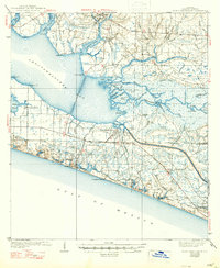
Editions of this 1939 Point Washington Map
3 editions found
Other maps of this area

1934 · Niceville
USGS Topo · 1:48,000

1935 · Villa Tasso
USGS Topo · 1:48,000

1935 · De Funiak Springs
USGS Topo · 1:48,000

1936 · Niceville
USGS Topo · 1:62,500

1936 · Point Washington
USGS Topo · 1:48,000

1938 · Villa Tasso
USGS Topo · 1:62,500

1938 · De Funiak Springs
USGS Topo · 1:62,500

1943 · Laguna Beach
USGS Topo · 1:31,680

1943 · Seminole Hills
USGS Topo · 1:24,000

1944 · Seminole Hills
USGS Topo · 1:31,680