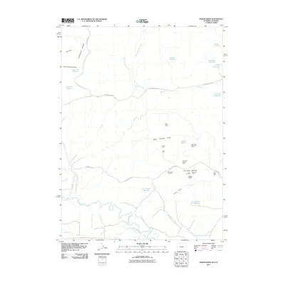
2010 Map of Poison Basin
USGS Topo · Published 2010About this map
Mining activity and irrigation engineering dominate this arid landscape on the Wyoming-Colorado border. Poison Basin is marked by a concentration of early 21st-century mining operations, including the Alpha Claim Group Mine, Murphy Mine, and several numerically-designated claims like the Cedar Hills One-twelve Mines. The terrain is defined by the Red Creek Rim and the Poison Draw, which descend toward the Little Snake River at the bottom of the map.
Find a feature on this map
41 named features on this map. Tap any name to fly to it.
Don’t see what you’re looking for? This feature index may not catch every label — zoom into the map to look around manually.
Map Details
Editions of this 2010 Poison Basin Map
This is the sole edition of this map. No revisions or reprints were ever made.
Other maps of this area

1916 · Craig
USGS Topo · 1:125,000

1954 · Rawlins
USGS Topo · 1:250,000

1954 · Craig
USGS Topo · 1:250,000

1957 · Craig
USGS Topo · 1:250,000

1957 · Baggs
USGS Topo · 1:62,500

1958 · Rawlins
USGS Topo · 1:250,000

1958 · Craig
USGS Topo · 1:250,000

1960 · Craig
USGS Topo · 1:250,000

1962 · Rawlins
USGS Topo · 1:250,000

1962 · Craig
USGS Topo · 1:250,000