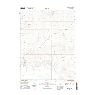
2015 Map of Poison Basin
USGS Topo · Published 2015About this map
The Little Snake River valley near the Wyoming and Colorado border is defined by an intricate network of irrigation channels designed to manage water in an arid high-desert environment. A complex system of diversions including the Gibson Blair Ditch, Darr Ditch, Home Ditch, and Woodbury Ditch reveals the intensive water management required for ranching and agriculture in this corner of Carbon County. These man-made features parallel the river's course, leading into the lower elevations south of the Poison Buttes.
Find a feature on this map
34 named features on this map. Tap any name to fly to it.
Don’t see what you’re looking for? This feature index may not catch every label — zoom into the map to look around manually.
Map Details
Editions of this 2015 Poison Basin Map
This is the sole edition of this map. No revisions or reprints were ever made.
Other maps of this area

1916 · Craig
USGS Topo · 1:125,000

1954 · Rawlins
USGS Topo · 1:250,000

1954 · Craig
USGS Topo · 1:250,000

1957 · Craig
USGS Topo · 1:250,000

1957 · Baggs
USGS Topo · 1:62,500

1958 · Rawlins
USGS Topo · 1:250,000

1958 · Craig
USGS Topo · 1:250,000

1960 · Craig
USGS Topo · 1:250,000

1962 · Rawlins
USGS Topo · 1:250,000

1962 · Craig
USGS Topo · 1:250,000