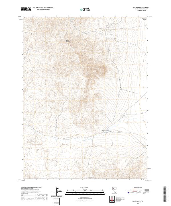
2021 Map of Poker Brown
USGS Topo · Published 2021About this map
Majuba Mountains dominate the central topography of this Pershing County landscape, marking a rugged high-altitude terrain that slopes down toward the eastern edges of the Humboldt Valley. This 2021 topographic record reveals a sparse, high-desert environment defined more by natural features and land-survey grids than by modern development. The isolated Poker Brown locale sits at a junction of tracks on the southeastern flank of the mountains, suggesting a point of access for historical prospecting or ranching in the region. To the north, Cavanaugh Spring provides a rare point of named hydrology in this arid basin-and-range setting, while the southern margin captures the northern extent of the Trinity Range. The map serves as a precise guide for those tracing land allotments and historical routes through the Nevada desert.
Find a feature on this map
10 named features on this map. Tap any name to fly to it.
Don’t see what you’re looking for? This feature index may not catch every label — zoom into the map to look around manually.
Map Details
Editions of this 2021 Poker Brown Map
This is the sole edition of this map. No revisions or reprints were ever made.
Other maps of this area

1931 · Lovelock
USGS Topo · 1:250,000

1935 · Lovelock
USGS Topo · 1:250,000

1955 · Lovelock
USGS Topo · 1:250,000

1956 · Oreana
USGS Topo · 1:62,500

1959 · Lovelock
USGS Topo · 1:250,000

1971 · Majuba Mtn
USGS Topo · 1:24,000

1971 · Rye Patch Reservoir South
USGS Topo · 1:24,000

1971 · Poker Brown
USGS Topo · 1:24,000

1971 · Rye Patch Reservoir North
USGS Topo · 1:24,000

1981 · Scossa
USGS Topo · 1:24,000