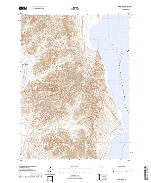
2023 Map of Pokes Point
USGS Topo · Published 2023About this map
The Promontory Mountains rise sharply from the eastern shores of the Great Salt Lake, defining a landscape of high ridges and deeply etched canyons. This 2023 survey documents the shoreline where the salt-crusted basin meets Bear River Bay, an area characterized by significant topographic relief between the peaks and the water's edge. Indigenous place names, including Ona Paa Seepaithe and Ona Paa Kewakate Paatetsopai'i, mark the western slopes, preserving a layer of cultural geography alongside more recent pastoral labels like Boothe Valley and Little Valley.
Find a feature on this map
20 named features on this map. Tap any name to fly to it.
Don’t see what you’re looking for? This feature index may not catch every label — zoom into the map to look around manually.
Map Details
Editions of this 2023 Pokes Point Map
This is the sole edition of this map. No revisions or reprints were ever made.
Other maps of this area

1954 · Brigham City
USGS Topo · 1:250,000

1955 · Willard Spur
USGS Topo · 1:24,000

1955 · Mouth of Bear River
USGS Topo · 1:24,000

1955 · Fremont Island
USGS Topo · 1:24,000

1958 · Brigham City
USGS Topo · 1:250,000

1962 · Brigham City
USGS Topo · 1:250,000

1967 · East Promontory
USGS Topo · 1:24,000

1968 · Messix Peak
USGS Topo · 1:24,000

1968 · Indian Cove
USGS Topo · 1:24,000

1968 · Pokes Point
USGS Topo · 1:24,000