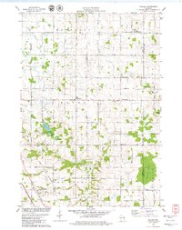
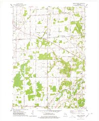
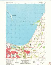
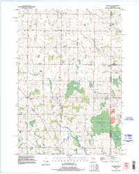
1978 Map of Poland
USGS Topo · Published 1979This historical map portrays the area of Poland in 1978, primarily covering Brown County as well as portions of Kewaunee County. Featuring a scale of 1:24000, this map provides a highly detailed snapshot of the terrain, roads, buildings, counties, and historical landmarks in the Poland region at the time. Published in 1979, it is one of 2 known editions of this map due to revisions or reprints.
Find a feature on this map
47 named features on this map. Tap any name to fly to it.
Don’t see what you’re looking for? This feature index may not catch every label — zoom into the map to look around manually.
Map Details
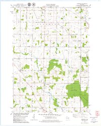
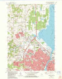
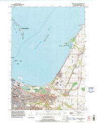
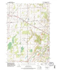
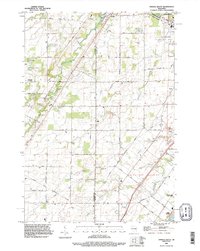
Editions of this 1978 Poland Map
2 editions found
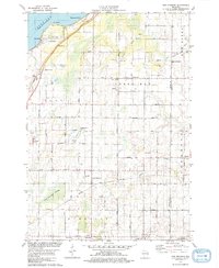
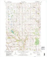
Historical Maps of Buckman Through Time
15 maps found
1954 Green Bay East
Brown County, WI
1954 Green Bay West
Brown County, WI
1954 New Franken
Brown County, WI
1974 Oneida North
Brown County, WI

1974 Oneida South
Brown County, WI
1978 Morrison
Brown County, WI
1978 New Franken
Brown County, WI
1978 Poland
Brown County, WI
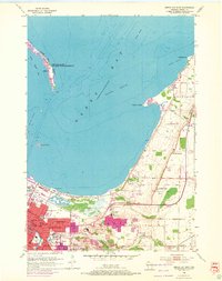
1982 Green Bay East
Brown County, WI
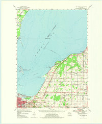
1982 Green Bay West
Brown County, WI
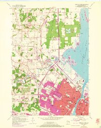
1992 Green Bay East
Brown County, WI
1992 Green Bay West
Brown County, WI
1992 Morrison
Brown County, WI
1992 Oneida North
Brown County, WI
1992 Oneida South
Brown County, WI