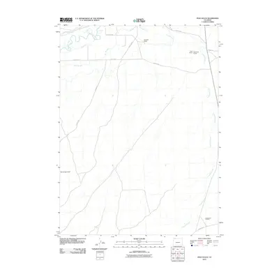
2010 Map of Pole Gulch
USGS Topo · Published 2010About this map
The Little Snake River meanders across the northwestern corner of this Moffat County landscape, its flow diverted by an intricate network of irrigation infrastructure including the Gibson Blair Ditch, Trowel Ditch, and the West Side Canal. This 2010 survey reflects a high-desert environment where water management is central to the land's utility, even as the terrain breaks into a series of named draws and gulches further south and east.
Find a feature on this map
19 named features on this map. Tap any name to fly to it.
Don’t see what you’re looking for? This feature index may not catch every label — zoom into the map to look around manually.
Map Details
Editions of this 2010 Pole Gulch Map
This is the sole edition of this map. No revisions or reprints were ever made.
Other maps of this area

1916 · Craig
USGS Topo · 1:125,000

1954 · Rawlins
USGS Topo · 1:250,000

1954 · Craig
USGS Topo · 1:250,000

1957 · Craig
USGS Topo · 1:250,000

1957 · Baggs
USGS Topo · 1:62,500

1958 · Rawlins
USGS Topo · 1:250,000

1958 · Craig
USGS Topo · 1:250,000

1960 · Craig
USGS Topo · 1:250,000

1962 · Rawlins
USGS Topo · 1:250,000

1962 · Craig
USGS Topo · 1:250,000