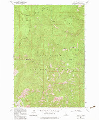
1963 Map of Pole Mtn
USGS Topo · Published 1983About this map
St Joe National Forest and Clearwater National Forest meet at a high mountain boundary defined by the divide between Shoshone and Clearwater counties. This 1963 field-checked study shows a landscape dominated by dramatic vertical relief, reaching its height at Pole Mtn, Surveyors Peak, and Otter Peak. The absence of roads is notable, with the terrain instead navigated by a historical Pack Trail and the My Pack Trail that cross the ridges. To the south, high-elevation waters like Cliff Lake, Slide Lake, and Steve Lake sit below the sharp drop of Avalanche Ridge. The drainage pattern is complex, with named waterways such as Sawtooth Creek, Ruby Creek, and Frost Creek carving deep into the forest interior, illustrating the remote and untouched character of this Idaho backcountry before later development or modern access.
Find a feature on this map
30 named features on this map. Tap any name to fly to it.
Don’t see what you’re looking for? This feature index may not catch every label — zoom into the map to look around manually.
Map Details
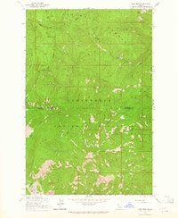
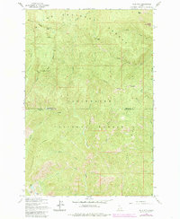
Editions of this 1963 Pole Mtn Map
3 editions found
Other maps of this area

1911 · Lolo
USGS Topo · 1:250,000

1913 · Lolo
USGS Topo · 1:250,000

1914 · Avery
USGS Topo · 1:125,000

1917 · Avery
USGS Topo · 1:125,000

1918 · St Regis
USGS Topo · 1:125,000

1919 · St. Regis
USGS Topo · 1:125,000

1923 · Washington Creek
USGS Topo · 1:125,000

1956 · Wallace
USGS Topo · 1:250,000

1956 · Hamilton
USGS Topo · 1:250,000

1957 · Simmons Peak
USGS Topo · 1:62,500