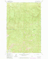
1963 Map of Pole Mtn
USGS Topo · Published 1985About this map
Joe National Forest and Clearwater National Forest meet at a high-elevation boundary in the Idaho backcountry. The landscape is defined by massive landforms like Surveyors Ridge and the sharp incline of Avalanche Ridge, which dominate the central and southern portions of the terrain. High-altitude peaks including Pole Mtn, Collins Peak, and Otter Peak serve as primary landmarks for those navigating this primitive area.
Find a feature on this map
30 named features on this map. Tap any name to fly to it.
Don’t see what you’re looking for? This feature index may not catch every label — zoom into the map to look around manually.
Map Details
Editions of this 1963 Pole Mtn Map
3 editions found
Other maps of this area

1911 · Lolo
USGS Topo · 1:250,000

1913 · Lolo
USGS Topo · 1:250,000

1914 · Avery
USGS Topo · 1:125,000

1917 · Avery
USGS Topo · 1:125,000

1918 · St Regis
USGS Topo · 1:125,000

1919 · St. Regis
USGS Topo · 1:125,000

1923 · Washington Creek
USGS Topo · 1:125,000

1956 · Wallace
USGS Topo · 1:250,000

1956 · Hamilton
USGS Topo · 1:250,000

1957 · Simmons Peak
USGS Topo · 1:62,500