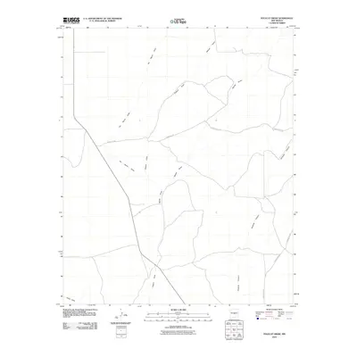
2010 Map of Polecat Draw
USGS Topo · Published 2010About this map
Pinatosa Canyon cuts through the eastern portion of this high-desert landscape in Lincoln County, New Mexico, illustrating a region defined by its drainage patterns and rural connectivity. The terrain is marked by seasonal watercourses such as Polecat Draw and Sacate Draw, which shape the local topography. This early 21st-century survey documents the network of county thoroughfares, including County Rd-190 and County Rd-213, that traverse the area. These roads provide a rare glimpse into the infrastructure of this low-density ranching country, showing how modern transportation follows the natural contours of the land. The presence of Dulce Draw along the southern border further highlights the geographic dependence on these intermittent drainages in an arid environment.
Find a feature on this map
10 named features on this map. Tap any name to fly to it.
Don’t see what you’re looking for? This feature index may not catch every label — zoom into the map to look around manually.
Map Details
Editions of this 2010 Polecat Draw Map
This is the sole edition of this map. No revisions or reprints were ever made.
Other maps of this area

1918 · Oscura Peak
USGS Topo · 1:125,000

1948 · Broken Back Crater
USGS Topo · 1:62,500

1950 · Little Black Peak
USGS Topo · 1:62,500

1954 · Tularosa
USGS Topo · 1:250,000

1954 · Fort Sumner
USGS Topo · 1:250,000

1954 · Socorro
USGS Topo · 1:250,000

1955 · Roswell
USGS Topo · 1:250,000

1958 · Socorro
USGS Topo · 1:250,000

1958 · Fort Sumner
USGS Topo · 1:250,000

1958 · Roswell
USGS Topo · 1:250,000