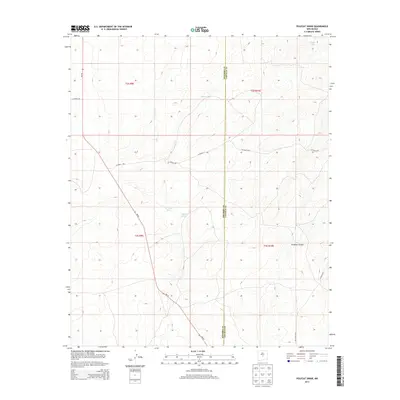
2013 Map of Polecat Draw
USGS Topo · Published 2013About this map
Polecat Draw and its network of ephemeral watercourses define this high-desert landscape situated along the border of Socorro and Lincoln counties. The terrain is marked by significant topographical shifts, ranging from the deep incision of Pinatosa Canyon in the southeast to various catchment features like Johnson Tank. Transportation in the early 21st century relied on a sparse grid of county roads and the primary north-south artery of NM-55, which cuts through the western sections of the quadrangle. The map reveals the intricate drainage patterns of the region, including Sacate Draw and No Name Draw, providing a clear look at how water moves through this arid environment. This 2013 survey serves as a detailed record of land divisions and rural infrastructure within the t3s r9e and t2s r10e township and range blocks.
Find a feature on this map
18 named features on this map. Tap any name to fly to it.
Don’t see what you’re looking for? This feature index may not catch every label — zoom into the map to look around manually.
Map Details
Editions of this 2013 Polecat Draw Map
This is the sole edition of this map. No revisions or reprints were ever made.
Other maps of this area

1918 · Oscura Peak
USGS Topo · 1:125,000

1948 · Broken Back Crater
USGS Topo · 1:62,500

1950 · Little Black Peak
USGS Topo · 1:62,500

1954 · Tularosa
USGS Topo · 1:250,000

1954 · Fort Sumner
USGS Topo · 1:250,000

1954 · Socorro
USGS Topo · 1:250,000

1955 · Roswell
USGS Topo · 1:250,000

1958 · Socorro
USGS Topo · 1:250,000

1958 · Fort Sumner
USGS Topo · 1:250,000

1958 · Roswell
USGS Topo · 1:250,000