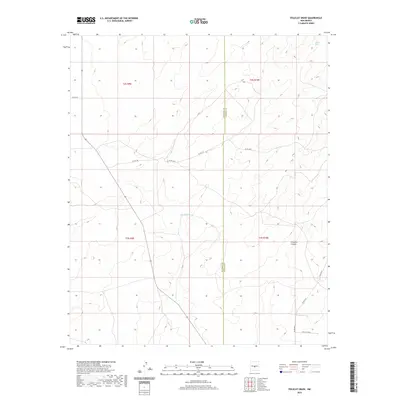
2020 Map of Polecat Draw
USGS Topo · Published 2020About this map
Polecat Draw and Sacate Draw define the drainage patterns of this high-altitude landscape along the border of Socorro and Lincoln counties. The terrain is marked by the deep incisions of Pinatosa Canyon in the southeast, contrasting with the more subtle elevation changes in the northern sections. This 2020 survey illustrates a sparsely settled area where the road network consists primarily of numbered routes, such as Co Rd 213 and Co Rd A019, which navigate the varying topography. The presence of Twin Calf Way suggests the continued importance of ranching and livestock movement in this part of New Mexico, providing a clear view of how land use and transit paths have adapted to the arid environment.
Find a feature on this map
16 named features on this map. Tap any name to fly to it.
Don’t see what you’re looking for? This feature index may not catch every label — zoom into the map to look around manually.
Map Details
Editions of this 2020 Polecat Draw Map
This is the sole edition of this map. No revisions or reprints were ever made.
Other maps of this area

1918 · Oscura Peak
USGS Topo · 1:125,000

1948 · Broken Back Crater
USGS Topo · 1:62,500

1950 · Little Black Peak
USGS Topo · 1:62,500

1954 · Tularosa
USGS Topo · 1:250,000

1954 · Fort Sumner
USGS Topo · 1:250,000

1954 · Socorro
USGS Topo · 1:250,000

1955 · Roswell
USGS Topo · 1:250,000

1958 · Socorro
USGS Topo · 1:250,000

1958 · Fort Sumner
USGS Topo · 1:250,000

1958 · Roswell
USGS Topo · 1:250,000