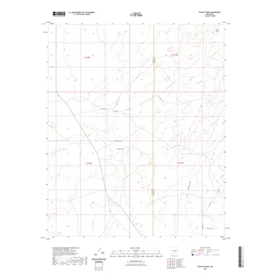
2023 Map of Polecat Draw
USGS Topo · Published 2023About this map
The high desert border between Socorro County and Lincoln County is defined by a series of ephemeral watercourses and winding canyon systems. Arid drainages such as Sacate Draw and No Name Draw carve through the landscape, eventually leading toward Polecat Draw in the center of the survey. The terrain is marked by the rugged descent of Pinatosa Canyon in the southeast, where the land drops away into deeper basin territory. Sparse infrastructure consists primarily of county-maintained routes like Co Rd 187 and local tracks like Twin Calf Way, which provide access to the vast ranching tracts of Township 2 South and Township 3 South. These survey lines and road networks illustrate the grid-based settlement pattern typical of this region of New Mexico, where life and travel are dictated by the natural contours of the draws and canyons.
Find a feature on this map
17 named features on this map. Tap any name to fly to it.
Don’t see what you’re looking for? This feature index may not catch every label — zoom into the map to look around manually.
Map Details
Editions of this 2023 Polecat Draw Map
This is the sole edition of this map. No revisions or reprints were ever made.
Other maps of this area

1918 · Oscura Peak
USGS Topo · 1:125,000

1948 · Broken Back Crater
USGS Topo · 1:62,500

1950 · Little Black Peak
USGS Topo · 1:62,500

1954 · Tularosa
USGS Topo · 1:250,000

1954 · Fort Sumner
USGS Topo · 1:250,000

1954 · Socorro
USGS Topo · 1:250,000

1955 · Roswell
USGS Topo · 1:250,000

1958 · Socorro
USGS Topo · 1:250,000

1958 · Fort Sumner
USGS Topo · 1:250,000

1958 · Roswell
USGS Topo · 1:250,000