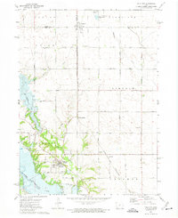
1972 Map of Polk City
USGS Topo · Published 1975About this map
The Des Moines River valley undergoes a significant transformation on this early 1970s survey, defined by the engineering of the Barrier Dam and the rising waters of Saylorville Lake. This era marks the transition of the central Iowa landscape from a riverine agricultural corridor to one dominated by large-scale water management and recreation, as seen with the formation of Big Creek Lake. Despite these changes, the rural township structure of Garden, Palestine, and Lincoln remains visible through a grid of numbered roads like NW 166th Avenue.
Find a feature on this map
54 named features on this map. Tap any name to fly to it.
Don’t see what you’re looking for? This feature index may not catch every label — zoom into the map to look around manually.
Map Details
Editions of this 1972 Polk City Map
2 editions found
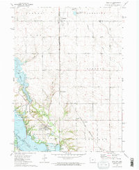
Other maps of this area

1905 · Des Moines
USGS Topo · 1:62,500

1907 · Des Moines
USGS Topo · 1:62,500

1908 · Waukee
USGS Topo · 1:62,500

1911 · Madrid
USGS Topo · 1:62,500

1911 · Slater
USGS Topo · 1:62,500

1913 · Slater
USGS Topo · 1:62,500

1914 · Madrid
USGS Topo · 1:62,500

1954 · Des Moines
USGS Topo · 1:250,000

1956 · Des Moines
USGS Topo · 1:250,000

1956 · Des Moines NW
USGS Topo · 1:24,000