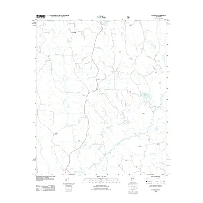
2012 Map of Polkville
USGS Topo · Published 2012About this map
Polkville serves as the central hub of this Mississippi landscape, situated at the intersection of local roads such as Adcock Rd and Traxler Rd. The surrounding countryside is defined by its water systems, most notably the Strong River and Line Cr, which carve through the terrain south of the main settlement. Several family-named rural cemeteries are dispersed across the area, including James Cem and Prospect Cem, providing valuable markers for those tracing local lineages in Smith and Scott counties.
Find a feature on this map
72 named features on this map. Tap any name to fly to it.
Don’t see what you’re looking for? This feature index may not catch every label — zoom into the map to look around manually.
Map Details
Editions of this 2012 Polkville Map
This is the sole edition of this map. No revisions or reprints were ever made.
Other maps of this area

1922 · Morton
USGS Topo · 1:48,000

1922 · Pelahatchee
USGS Topo · 1:48,000

1924 · Pelahatchee
USGS Topo · 1:62,500

1924 · Morton
USGS Topo · 1:62,500

1935 · White Oak
USGS Topo · 1:24,000

1950 · Pelahatchie
USGS Topo · 1:62,500

1951 · Morton
USGS Topo · 1:62,500

1952 · Pelahatchie
USGS Topo · 1:62,500

1953 · Meridian
USGS Topo · 1:250,000

1957 · Meridian
USGS Topo · 1:250,000