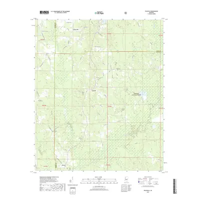
2018 Map of Polkville
USGS Topo · Published 2018About this map
Polkville and the surrounding piney woods of Smith and Rankin counties are depicted here as they appeared in 2018. This rural landscape is characterized by a high density of small family and community burial grounds, such as Old Polkville Cem, James Cem, and the remote Rock Bluff Cem near the southern boundary. These sites, along with rural congregations like the Oak Grove Church of God Cem, offer significant anchor points for genealogical research in this part of Mississippi. The eastern portion of the map is dominated by the Bienville National Forest, where the terrain drops toward the drainage of the Strong River and its tributaries like Purvis Cr and Old Field Cr. Smaller water bodies, including Beaver Lake and Cooper Lake, dot the woodland, while the small settlement of Daniel sits at the intersection of local routes near the Rankin County line.
Find a feature on this map
78 named features on this map. Tap any name to fly to it.
Don’t see what you’re looking for? This feature index may not catch every label — zoom into the map to look around manually.
Map Details
Editions of this 2018 Polkville Map
This is the sole edition of this map. No revisions or reprints were ever made.
Other maps of this area

1922 · Morton
USGS Topo · 1:48,000

1922 · Pelahatchee
USGS Topo · 1:48,000

1924 · Pelahatchee
USGS Topo · 1:62,500

1924 · Morton
USGS Topo · 1:62,500

1935 · White Oak
USGS Topo · 1:24,000

1950 · Pelahatchie
USGS Topo · 1:62,500

1951 · Morton
USGS Topo · 1:62,500

1952 · Pelahatchie
USGS Topo · 1:62,500

1953 · Meridian
USGS Topo · 1:250,000

1957 · Meridian
USGS Topo · 1:250,000