
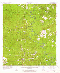
1958 Map of Pollock
USGS Topo · Published 1959About this map
Little River meanders through the heart of the landscape, defining the boundary between Grant and La Salle Parishes as it flows toward Thompson Ferry. The area is characterized by a mix of established timberlands within the Kisatchie National Forest and industrial activity, evidenced by numerous Oil Wells and Gravel Pits scattered near Breezy Hill. The settlement pattern follows the Missouri Pacific and Louisiana Meridian rail lines, linking towns such as Selma, Antonia, and Pollock.
Find a feature on this map
96 named features on this map. Tap any name to fly to it.
Don’t see what you’re looking for? This feature index may not catch every label — zoom into the map to look around manually.
Map Details
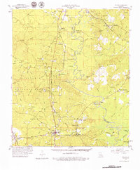
Editions of this 1958 Pollock Map
3 editions found
Other maps of this area

1932 · Colfax NE
USGS Topo · 1:31,680

1932 · Boyce NE
USGS Topo · 1:31,680

1932 · Colfax SE
USGS Topo · 1:31,680

1936 · Colfax
USGS Topo · 1:62,500

1936 · Pollock
USGS Topo · 1:62,500

1941 · Jena
USGS Topo · 1:62,500

1941 · Alexandria
USGS Topo · 1:62,500

1941 · Buckeye
USGS Topo · 1:62,500

1941 · Pollock
USGS Topo · 1:62,500

1941 · Boyce
USGS Topo · 1:62,500