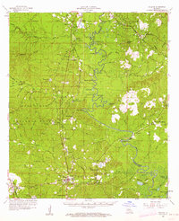
1958 Map of Pollock
USGS Topo · Published 1962About this map
Kisatchie National Forest dominates the landscape of this central Louisiana survey, where a complex network of bayous and brakes defines the terrain. The Missouri Pacific and Louisiana Midland railroads connect small timber and river settlements like Pollock, Selma, and Bentley. The intricate drainage system of Funny Louis Bayou and the meandering Little Louisiana And Mississippi River create a landscape of oxbows and wetlands, including Nugent Brake and Moon Lake.
Find a feature on this map
100 named features on this map. Tap any name to fly to it.
Don’t see what you’re looking for? This feature index may not catch every label — zoom into the map to look around manually.
Map Details
Editions of this 1958 Pollock Map
3 editions found

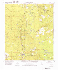
Other maps of this area

1932 · Colfax NE
USGS Topo · 1:31,680

1932 · Boyce NE
USGS Topo · 1:31,680

1932 · Colfax SE
USGS Topo · 1:31,680

1936 · Colfax
USGS Topo · 1:62,500

1936 · Pollock
USGS Topo · 1:62,500

1941 · Jena
USGS Topo · 1:62,500

1941 · Alexandria
USGS Topo · 1:62,500

1941 · Buckeye
USGS Topo · 1:62,500

1941 · Pollock
USGS Topo · 1:62,500

1941 · Boyce
USGS Topo · 1:62,500