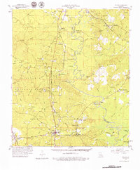
1958 Map of Pollock
USGS Topo · Published 1979About this map
Kisatchie National Forest covers much of this landscape, where the Little River carves a winding path through the pines and hardwoods of Grant and La Salle Parishes. The late 1950s economic life of this region is clearly visible through the numerous oil wells and gravel pits dotting the terrain, alongside a dense network of logging and transport infrastructure. Several major railroads, including the Missouri Pacific and Kansas City Southern, bisect the area, connecting timber towns like Selma and Zenoria to larger markets. For those tracking local family history, the map provides detailed locations for remote burial grounds such as Pine Knot Cem and Whatley Cem, and community anchors like Big Rock Ch. The presence of the Antonia Lookout Tower and Catahoula Lookout Tower reflects the vital role of fire surveillance in these heavily forested southern lands.
Find a feature on this map
109 named features on this map. Tap any name to fly to it.
Don’t see what you’re looking for? This feature index may not catch every label — zoom into the map to look around manually.
Map Details
Editions of this 1958 Pollock Map
3 editions found

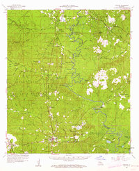
Other maps of this area

1932 · Colfax NE
USGS Topo · 1:31,680

1932 · Boyce NE
USGS Topo · 1:31,680

1932 · Colfax SE
USGS Topo · 1:31,680

1936 · Colfax
USGS Topo · 1:62,500

1936 · Pollock
USGS Topo · 1:62,500

1941 · Jena
USGS Topo · 1:62,500

1941 · Alexandria
USGS Topo · 1:62,500

1941 · Buckeye
USGS Topo · 1:62,500

1941 · Pollock
USGS Topo · 1:62,500

1941 · Boyce
USGS Topo · 1:62,500