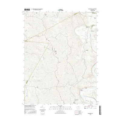
2016 Map of Polsgrove
USGS Topo · Published 2016About this map
The Kentucky River winds along the eastern boundary of this Franklin County landscape, shaping the fertile lowlands of Polsgrove Bottom and Lecompte Bottom. This area is defined by a high density of family cemeteries and small rural settlements, including Polsgrove, Ottusville, and Harvieland. The terrain transitions from the river's edge to the high ground of Grub Ridge and Dry Ridge, where the complex drainage systems of Flat Creek and Sixmile Creek have carved deep valleys into the Kentucky countryside. Several historic church and family burial sites, such as Grub Ridge Church Cem and the Waits Cem, are scattered across the uplands. The mapping of Steamboat Hollow near Scotts Bottom serves as a reminder of the river's historical role in regional transportation and commerce.
Find a feature on this map
68 named features on this map. Tap any name to fly to it.
Don’t see what you’re looking for? This feature index may not catch every label — zoom into the map to look around manually.
Map Details
Editions of this 2016 Polsgrove Map
This is the sole edition of this map. No revisions or reprints were ever made.
Other maps of this area

1906 · Lockport
USGS Topo · 1:48,000

1908 · Lockport
USGS Topo · 1:62,500

1922 · Frankfort
USGS Topo · 1:48,000

1923 · Waddy
USGS Topo · 1:48,000

1924 · Frankfort
USGS Topo · 1:62,500

1925 · Mount Eden
USGS Topo · 1:48,000

1927 · Mount Eden
USGS Topo · 1:62,500

1928 · New Castle
USGS Topo · 1:48,000

1932 · New Castle
USGS Topo · 1:62,500

1953 · Monterey
USGS Topo · 1:24,000