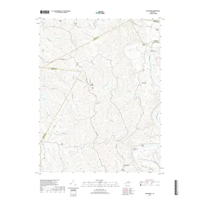
2019 Map of Polsgrove
USGS Topo · Published 2019About this map
The Kentucky River snakes along the eastern boundary of this central Kentucky landscape, carving out the fertile grounds of Polsgrove Bottom and Scotts Bottom. This map reveals a deeply dissected terrain of narrow ridges and winding creek valleys, where the transition from river bottomlands to the interior uplands is defined by names like Bald Knob and Stoney Creek Hill. The settlement pattern follows the drainage of Flat Creek, which serves as a central artery for the area, connecting smaller communities and landings along the river's edge.
Find a feature on this map
66 named features on this map. Tap any name to fly to it.
Don’t see what you’re looking for? This feature index may not catch every label — zoom into the map to look around manually.
Map Details
Editions of this 2019 Polsgrove Map
This is the sole edition of this map. No revisions or reprints were ever made.
Other maps of this area

1906 · Lockport
USGS Topo · 1:48,000

1908 · Lockport
USGS Topo · 1:62,500

1922 · Frankfort
USGS Topo · 1:48,000

1923 · Waddy
USGS Topo · 1:48,000

1924 · Frankfort
USGS Topo · 1:62,500

1925 · Mount Eden
USGS Topo · 1:48,000

1927 · Mount Eden
USGS Topo · 1:62,500

1928 · New Castle
USGS Topo · 1:48,000

1932 · New Castle
USGS Topo · 1:62,500

1953 · Monterey
USGS Topo · 1:24,000